
Decisions instead of guesswork
Find the Hidden Profit in Your Field. Acre by Acre
Your aerial imagery becomes a digital field subdivided into cells: each unit receives a score and a place in the ranking, and turns into a prescription ready for the machine.
No credit card required. No hidden fees.
The invisible cost of field blind spots.
Scouting from the edges only tells half the story.
Assuming the rest of the field looks the same isn't just risky, it's a silent leak in your profit margins.
Waste
Standard input rates on low-potential areas → wasted money.
Loss
Under-dosing on high-potential areas → lost yield.
Uncertainty
Decisions worth thousands (or millions) taken on assumptions alone.
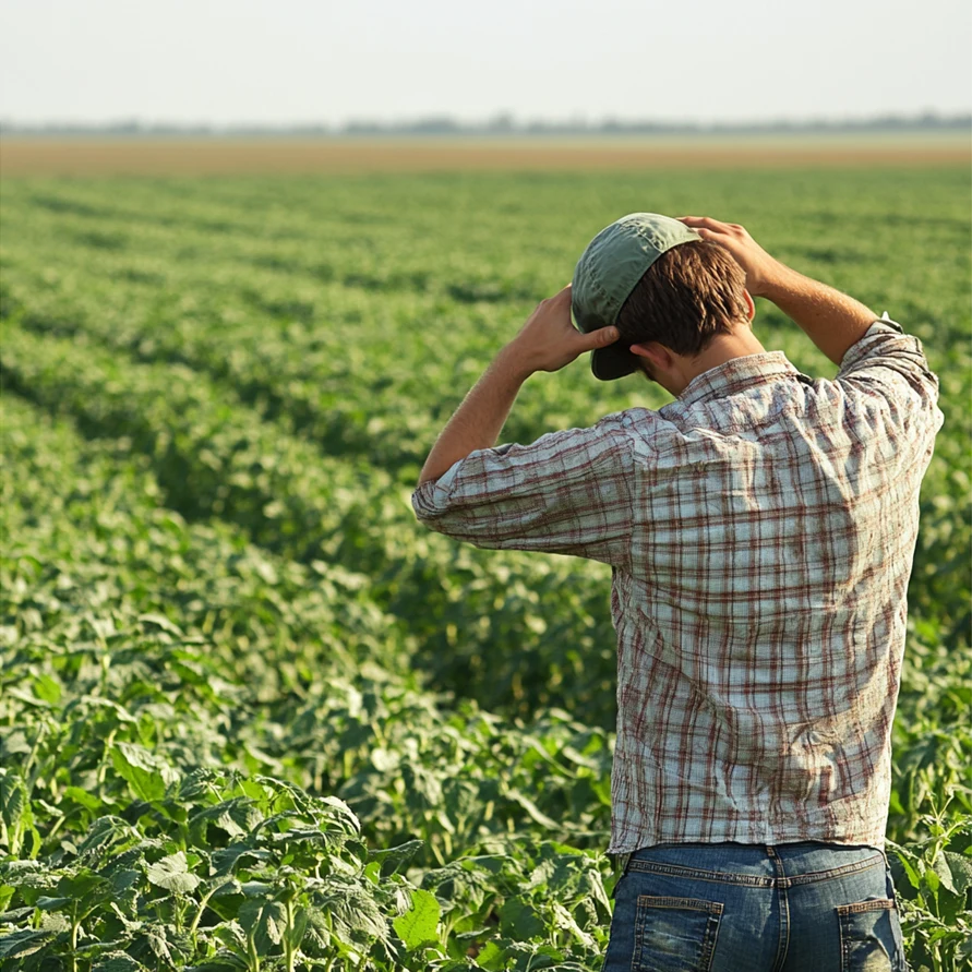
You inspect 1% of the field and decide about 100%.
A scouting walk covers a small fraction of the area. Everything else becomes guesswork.
Move your cursor over the image below
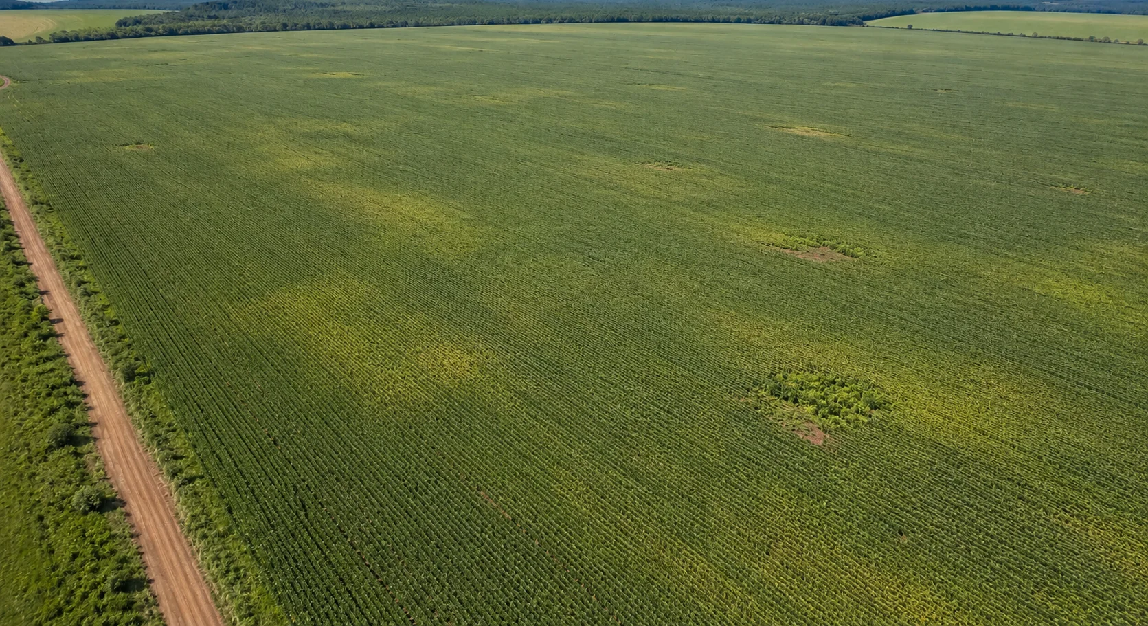
The patch was always there. What was missing was knowing what to do about it.
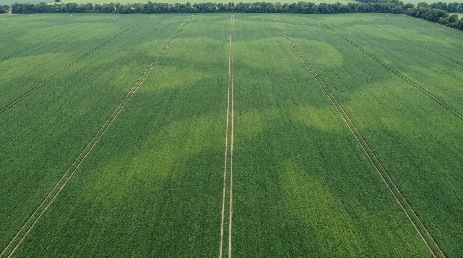
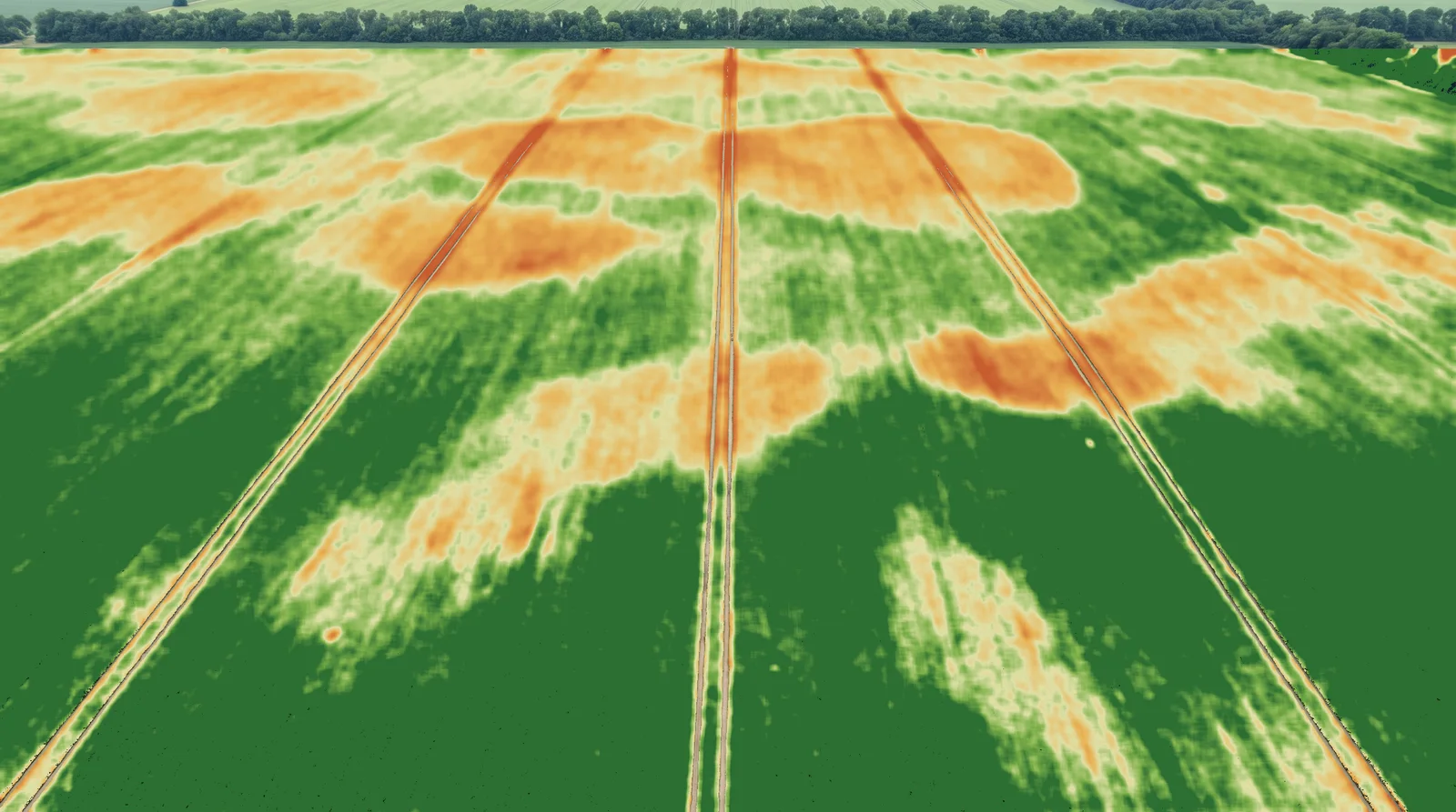
Drag the divider. On the left, the orthomosaic — the field as the eye sees it. On the right, the vegetation index, which separates real vigour from visual impression.
See it working before deciding
Open a real project in the Digital Field: download the report, switch layers, see the cell ranking and build your own prescription maps. No sign-up, no card.
See demonstrationFrom Flight to Insight in 3 Steps
Upload & Process
Simply drag and drop your drone imagery. Our cloud engine handles the heavy photogrammetry automatically.
Analyze & Diagnose
Access your processed maps instantly. Use the Grid Ranking to identify critical spots and create data-backed prescriptions.
Take Action
Export maps directly to machinery and spray drones, or use our mobile app to guide scouting, sampling, and field inspections.
Don’t Upgrade Your Drone. Upgrade Your Software

Your ordinary drone just got superpowers.
You don't need an expensive drone with a multispectral sensor to get started. FieldRank's algorithms extract high-value agronomic data from standard RGB cameras found on consumer drones.
- Works with DJI Mini, Air, & Mavic
- No expensive multispectral sensors needed
- Identical or very similar results to those obtained with professional drones
Heavy Processing, No Supercomputer Needed.
We handle the heavy lifting (orthomosaics, DSM & ranking) in the cloud. You don't need a high-end workstation. You can run the entire process from a standard laptop or even directly from your smartphone.
- No powerful computer or expensive graphics card required
- Upload and close the browser
- Open your Digital Field from any device
See What Others Miss: The Power of Grid Analysis
1. The Virtual Grid
We break your field down into smart management units (cells), moving beyond simple visual maps to precise data blocks.
2. Individual Analysis
Every cell gets a unique health score based on vegetation indices, isolating problems so they don't hide in the averages.
3. The Ranking
The system instantly ranks your land from Top to Critical, showing you exactly where to protect potential and where to fix failures.
The Digital Field: Where Data Meets Strategy.
Interactive Visualization: Toggle between RGB, VARI, and Classification layers to spot patterns instantly.
Precision Overlay: Compare our Grid Ranking with your historical knowledge to validate decisions.
Custom Zoning: Draw and adjust management zones manually to fine-tune the algorithm's suggestions.
One-Click Export: Download prescriptions ready for rate controllers and spray drones.
How a prescription grows out of the ranking
A simplified grid, so you can get the mechanics: click the cells you want to treat, enter the rate and validate. Treated area and total product used are calculated instantly. The cells arrive already ranked from best to worst.
In the platform, this prescription exports as Shapefile and KML to your machine monitor, spraying drone or the Mesh app. Export is deliberately disabled here — the maths is the same.
That grid is fictional. The next step is seeing the same logic run on a real field, with imagery from an actual crop.
Run the Live Demo Now(No sign-up required)The field app
Mesh takes the prescription into the field
Mesh is FieldRank's field app. It opens in your phone browser, works offline and guides you by GPS to the cells the ranking flagged — to check them up close, sample in the right place, or apply without a variable-rate monitor.
- GPS navigation to the cell
- On-the-spot check of what the map flagged
- Targeted sampling, not random walking
- Works with no signal, out in the crop
Pricing That Pays for Itself on Your Very First Flight
Free
US$0/ forever
1 trial project (one-time)
Up to 200 images per project
Up to 2.4 GB per project
Mesh app included
Share by link
Avulso
US$7one-time payment
1 project, valid for 12 months
Up to 500 images per project
Up to 6 GB per project
Mesh app included
Share by link
Basic
US$17/mo
3 projects per month
Up to 600 images per project
Up to 8 GB per project
Mesh app included
Share by link
Pro
US$35/mo
9 projects per month
Up to 700 images per project
Up to 9 GB per project
Mesh app included
Share by link
Advanced
US$54/mo
18 projects per month
Up to 800 images per project
Up to 10 GB per project
Mesh app included
Share by link
Enterprise
Custom quote
Tailored project volume
Projects with a higher image limit
Dedicated portal for your clients
Per-user access control
Cancel anytime. No lock-in contracts.
The unit you are buying
So what exactly is a project?
A project is one processed flight: you upload the photos of a field and receive the complete analysis package for that date.
Each project delivers:
- Orthomosaic — a single georeferenced image of the whole field, at centimetre resolution
- Digital Surface Model (DSM) — elevation, to analyse terrain and drainage
- Vegetation index (VARI) — the crop vigour map
- Cell grid with score and ranking — every cell is scored and ranked from best to worst
- PDF report — thematic maps and statistics, ready to present or archive
- Digital Field — the interactive viewer where you switch layers and build prescriptions
- Prescription maps — exportable as Shapefile and KML for your machine monitor or spraying drone
- Survey file — to navigate to critical cells with the Mesh app, offline
It always costs 1 project, whatever the size of the field — what changes between plans is the image cap. A minimum of 20 images is required for reconstruction.
Frequently Asked Questions
Yes, you can grow more with less. Ready to start?
Create your account, register your field, and run your first project for free.
Create free account now"In the same way, faith by itself, if it is not accompanied by action, is dead." James 2:17